Strategic infrastructure. Advanced technology. Real assets.
AXTRATA operates at the intersection of advanced intelligence, strategic infrastructure, and real assets. Our proprietary technology integrates complex geospatial, economic, and infrastructure datasets to support acquisition, development, and investment decisions across critical sectors.
Physical
Terrain, geology and the systems built upon them.
Geographic
Position, proximity and the relationships between places.
Economic
Markets, demand and the forces that shape long-term value.
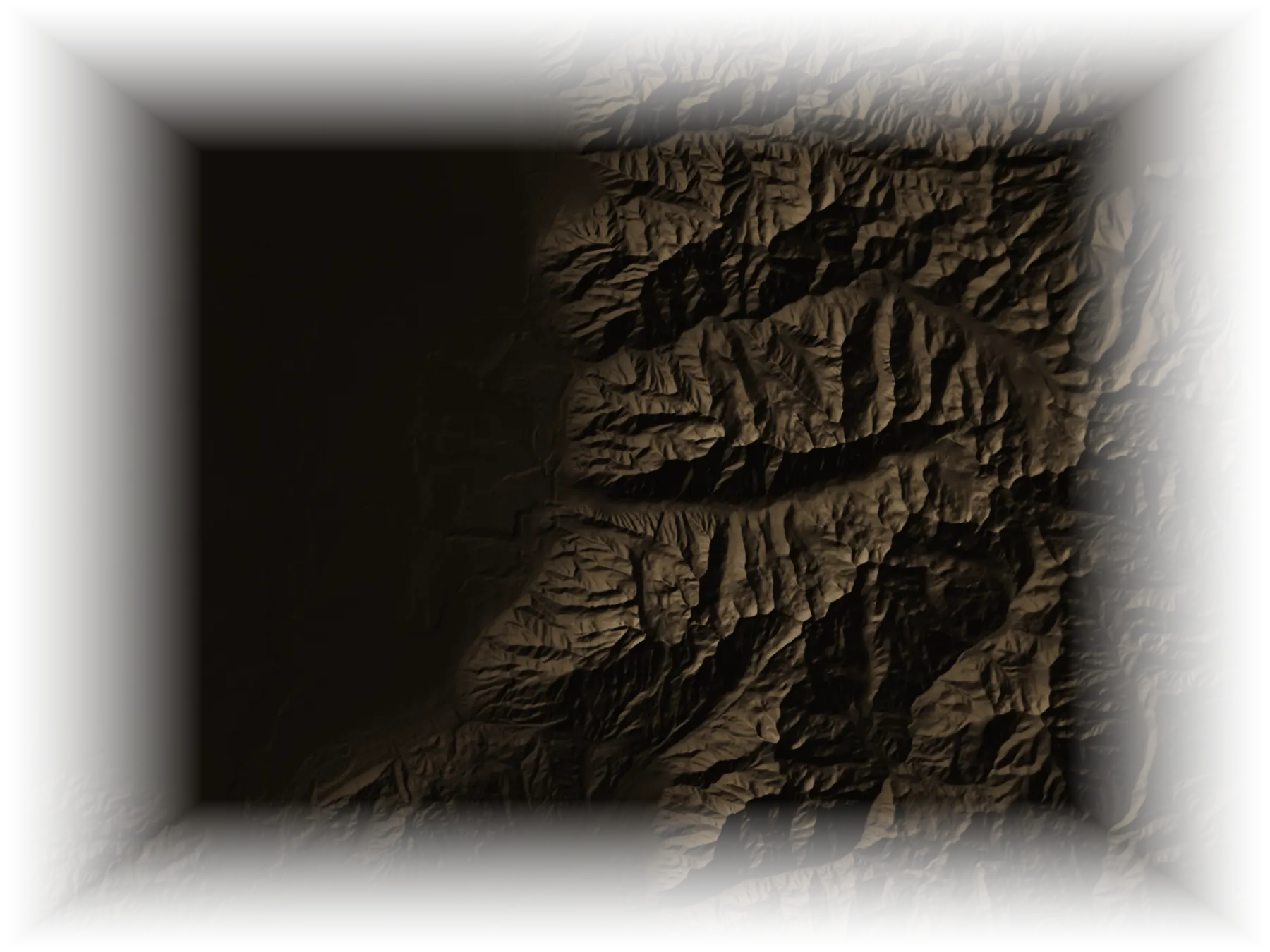
Fig. 01 One ground read as five layers: 40°32′ N 111°37′ W, Wasatch Range, Utah, a 19.5 km window. Elevation from USGS 3DEP (public domain); drainage, contours and grid derived from it. A demonstration from public data, not an AXTRATA holding or analysis.
02Integrated capabilities
Intelligence.Acquisitions.Development.
Three disciplines, held within one organization, in a natural progression: each informs the next.
AXTRATA integrates advanced analytical systems, multidisciplinary data, and strategic intelligence to support complex decisions across infrastructure and real asset markets.
Our acquisitions discipline combines intelligence-led analysis with disciplined commercial strategy to evaluate and pursue opportunities across strategically important asset classes.
AXTRATA applies technical intelligence, strategic planning, and commercial expertise to the advancement of complex infrastructure and real asset opportunities.
Infrastructure planning
Technical evaluation
Project strategy
Project advancement
03Areas of focus
Strategic Infrastructure & Real Assets.
Four areas of focus, considered together. They describe the markets AXTRATA studies and pursues; they are not a list of projects or holdings.
Pl. I Transmission towers, Black Canyon of the Colorado, 2001–02. Historic American Engineering Record, HAER NV-27-14, Library of Congress. Archival photograph; not an AXTRATA site.
Infrastructure decisions rest on many kinds of evidence at once. AXTRATA's technology brings them into a single frame of reference, so that the physical, geographic, economic and strategic character of an asset can be read together.
Data integration
Geospatial, economic and infrastructure datasets, held in one coherent model.
Spatial analytics
Terrain, position and the relationships between places, measured precisely.
Technical analysis
The engineering and resource characteristics that determine what is possible.
Infrastructure intelligence
The networks an asset depends on, and how they are likely to change.
Transect A–A′22.7 km · elevation, metres
3,500
3,000
2,500
2,000
1,500
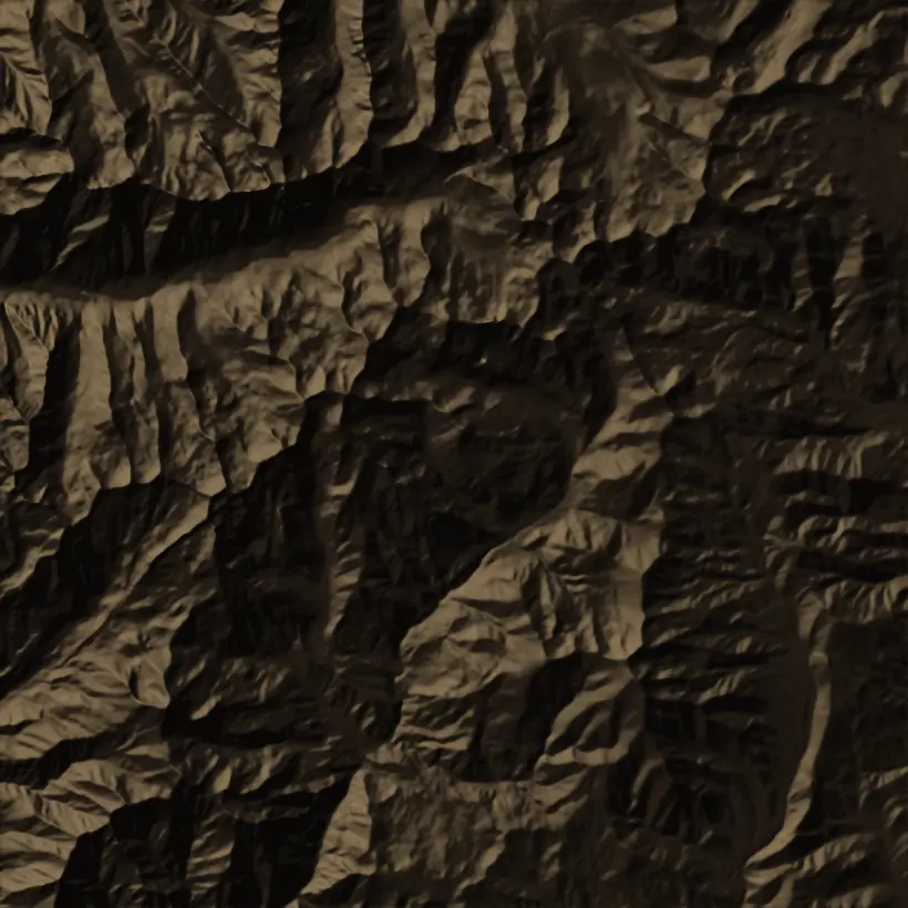
Fig. 02 Contours every 100 m, index every 500 m; graticule at 2′; transect A–A′ along the highest ground. Big and Little Cottonwood canyons, Wasatch Range, Utah. From USGS 3DEP elevation (public domain). A demonstration from public data, not an AXTRATA holding or analysis.
05Corporate inquiries
Corporate Inquiries.
For corporate and strategic inquiries, and for owners of land and real assets in our areas of focus. Correspondence is held in confidence.